GIS mapping and Image processing for Environment Management
Contact Us

GIS mapping and Image processing for Environment Management
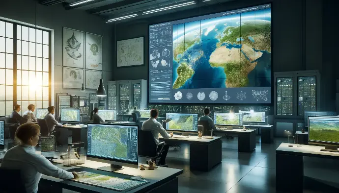
Our GIS Mapping and Image Processing for Environment Management service delivers cutting-edge tools for accurate environmental analysis and planning. Complying with India's Environmental Protection Act and other regulations, our service facilitates detailed geographic information system (GIS) mapping and advanced image processing, essential for effective environmental monitoring. Ideal for environmental consultants, research institutions, and regulatory authorities, our service enhances data visualization, supports precise decision-making, and promotes sustainable practices.
Utilize our GIS and image processing solutions to ensure compliance, improve environmental assessments, and drive sustainability initiatives.
Top-rated Service Providers for you
EcoSelf Help
Empower Yourself with EcoNexa's Comprehensive Guide
EcoNexa Self Help Section
Welcome to EcoSelf Help, your one-stop portal for understanding and navigating the environmental legal clearance process. Our mission is to make the complex world of environmental regulations accessible and manageable for everyone, regardless of their background.
By following this structure, EcoNexa's EcoSelf section can effectively provide valuable self-learning and application support to its users, making the environmental compliance process simpler and more accessible.

Discover EcoNexa's all services for your Environmental Management needs
Your one-stop destination for sustainable solutions
Ready to embark on a journey of digital transformation?
Let's turn your vision into reality. Contact us today to set your brand on the path to digital excellence with us.